
1
Long mining site

2
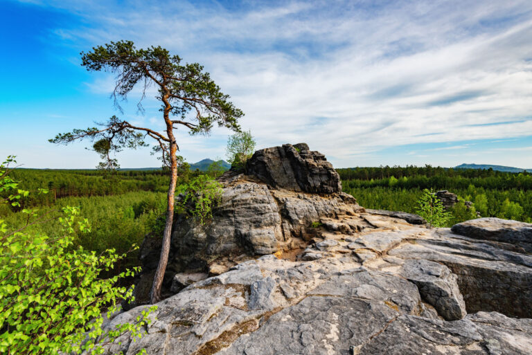
Barred shaft

3
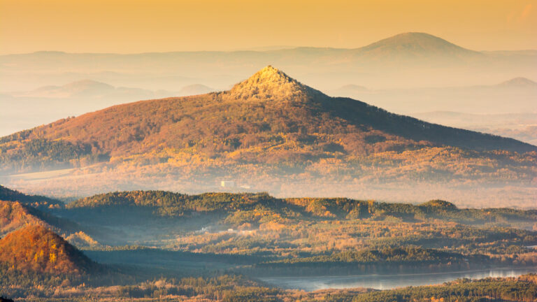
View of Borný and Bezděz
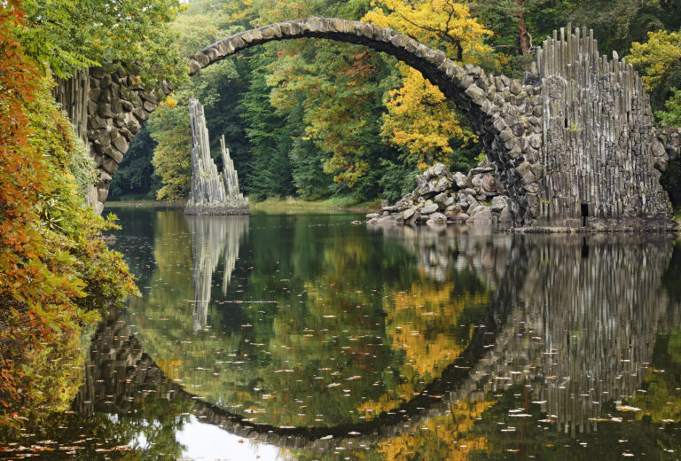
Kromlauer Park
The Kromlauer Rhododendronpark: a precious 19th century cultural monument and landscape park
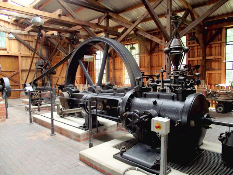
Long mining site
Barred shaft
View of Borný and Bezděz
The Kromlauer Rhododendronpark: a precious 19th century cultural monument and landscape park