
1
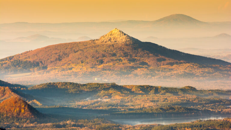
The deepest iron ore mine in the Ralsko Geopark.

2
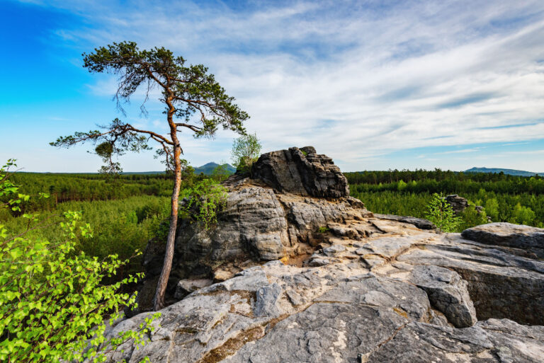
Beautiful view of Široký kámen

3
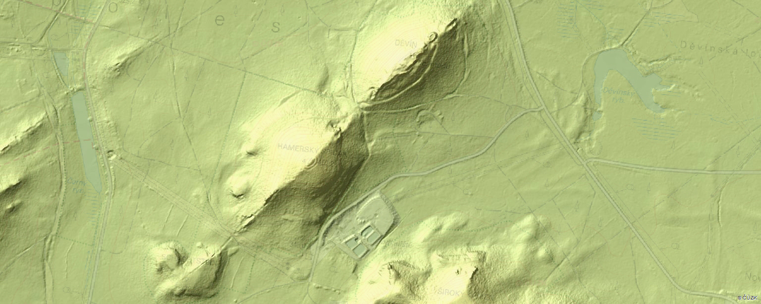
Auxiliary adit perpendicular to the main site
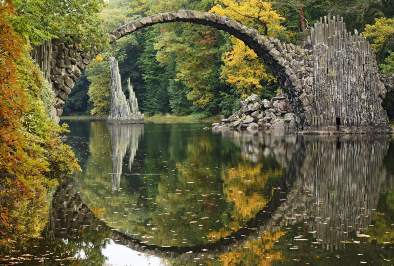
Kromlauer Park
The Kromlauer Rhododendronpark: a precious 19th century cultural monument and landscape park
The deepest iron ore mine in the Ralsko Geopark.
Beautiful view of Široký kámen
Auxiliary adit perpendicular to the main site
The Kromlauer Rhododendronpark: a precious 19th century cultural monument and landscape park