Lanka meltwater valley and the devil’s stone

Largest erratic in the geopark, granite, cultic site, Slavs, devil's stone

Site Description

The devil’s stone lies in the Lanka valley, approximately 2 km west of Trzebiel. Measuring 5.1 x 3.5 m with a height of 2.5 m, it represents the largest glacial erratic in the Muskauer Faltenbogen. Including the part hidden beneath the Earth’s surface, its volume amounts to approximately 36 m3, which corresponds to to total mass of 101 tonnes.
The stone is composed of a fine-grained alkali feldspar granite with a slaty texture and a mineral composition of approximately 40% quartz, 40% microcline, 15% plagioclase and 5% biotite. As its chemistry exhibits no particular features among granites, its precise region of provenance cannot be determined.
Additionally, the devil’s stone once carried a special meaning as a cultic site: man made apertures and indentations can be found on its surface. In the early Middle Ages, large erratics were used as sacrificial altars by the Slavs who were beginning to settle the area.

Data

Locality

Německo

Terrain difficulty

2 / 5

Time required

0.5 hours.

Elevation difference

10 m

What will you see here?

Teufelsstein

1

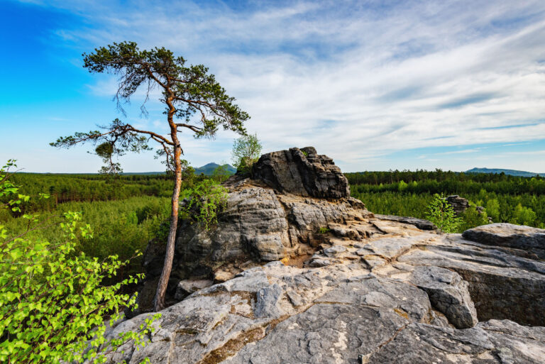
The devil's stone taken from the northwest, showing the distinctive disc shape and surrounding holes.

Teufelsstein

2

The devil's stone was worked by human hand. There is speculation that this may be a symbol of the sun.
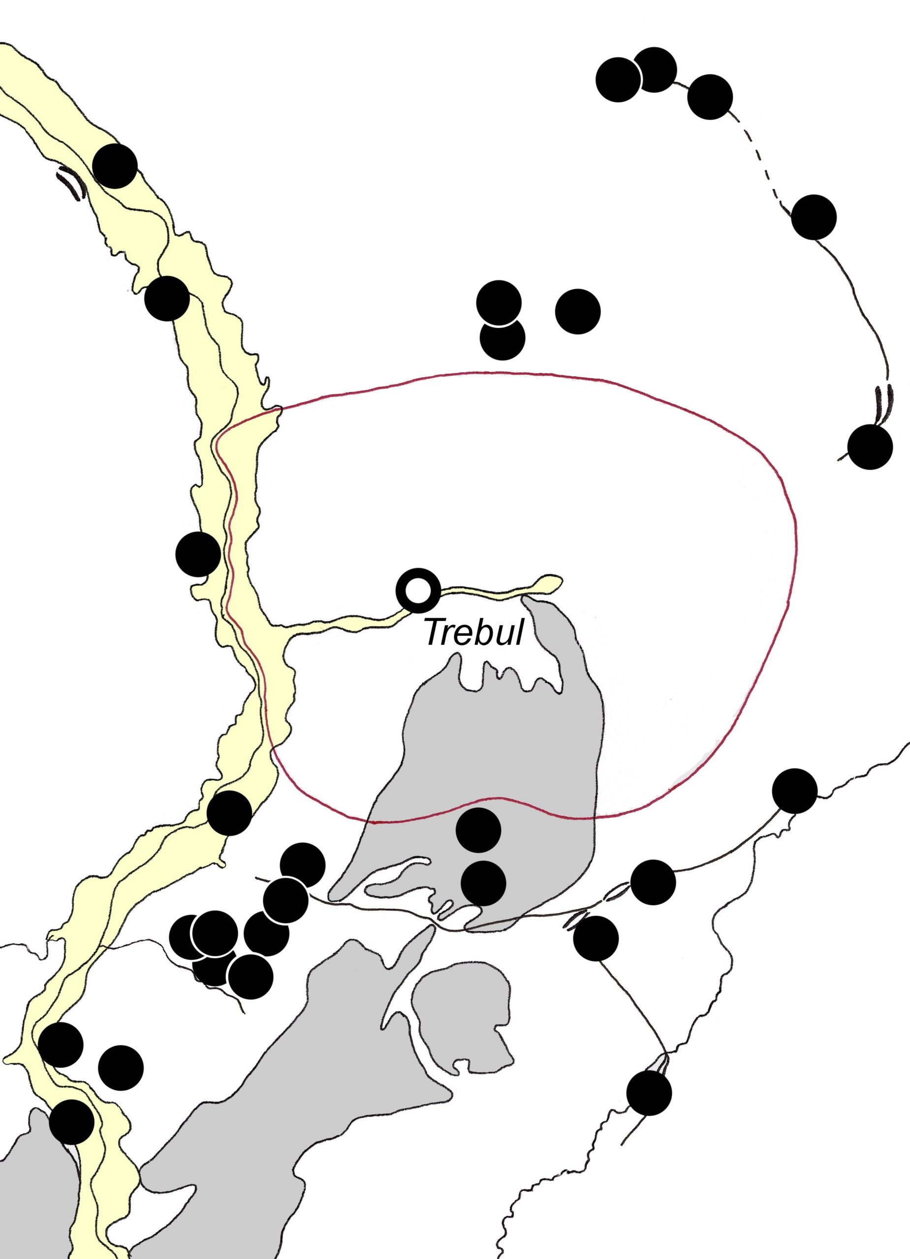
Teufelsstein

3

Sacred sites and traces of settlements prior to the mid-13th century. The red circle represents the unsettled "sacred grove".
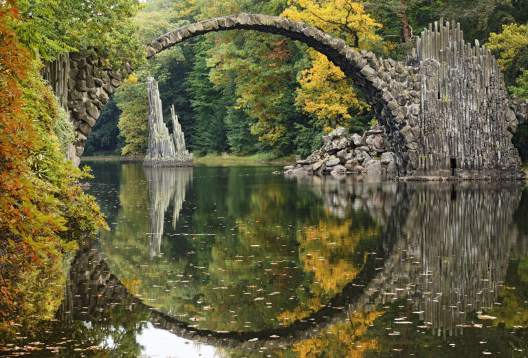
Do you know that...

Did you know that the original name of the village of Trzebiel (Trebule) is derived from the Slavic stem treb, which means the offering of sacrificies and is linked to the pre-Christian beliefs of the Slavs who migrated into the area some time between the 1oth and 12 centuries?

For Curious Minds

Sacred sites and traces of settlements prior to the mid-13th century. The red circle represents the unsettled “sacred grove”.

How to Reach Us

Enter the village of Trzebiel from the south via the road 12 (Warszawska), immediately taking the third exit on the roundabout towards Olszyna. Then take the next left turn – before the church – onto Słowackiego road. Continue for 1 km – the devil’s stone is situated at the end of a 150 m long path on the left-hand side of the road. Trzebiel can be accessed by bus (the site is located 1.5 km to the west).

Site Photo Gallery

DISCOVER OTHER GEOPARK SITES

Each place is unique and hides many layers. Come with us and explore the restored wilderness area.