Nochten dune field
Site Description
Aeolian sands and inland dunes occur locally across the entire Faltenbogen region. The large Nochten dune area is located in its southern foreland, over an area of 20×5 km. The west-facing parabolic dunes reach heights of up to 25 m. They were formed and repeatedly reshaped in the vegetation-free glacier forefield by the action of prevailing westerly winds in the late Weichselian glaciation to the early Holocene period. This was a very dynamic process, associated with several cycles of dune formation, soil formation and dune erosion.
The dunes are mostly covered by pine forests, and small areas of moorland may occur in the gaps between dune chains.
The Hermannsdorf cycle path, which runs south and east from the Findlingspark Nochten around the Nochten opencast mine, offers plenty of opportunities to observe these dunes and their foothills.
Data
Německo
1 / 5
0.75 hours.
30 m
What will you see here?

1
High-resolution digital terrain model of the Nochten dune area, without forest cover. 20x6 km section.
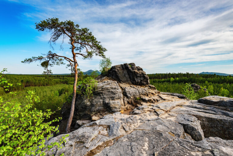
2
Nonforested part of an inland dune.

3
Route of the Hermannsdorf cycle path on a bronze plaque at the nature conversation centre "Turm am Schweren Berg" south of Weißwasser.
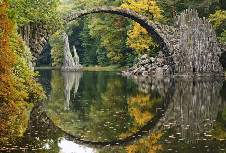
Do you know that...
How to Reach Us
- Parkstraße 7, 02943 Boxberg/Oberlausitz, Německo
- 51.4388597N, 14.5984411E
Site Photo Gallery
DISCOVER OTHER GEOPARK SITES

Kromlauer Park
The Kromlauer Rhododendronpark: a precious 19th century cultural monument and landscape park


