
1
Sinking over mining areas

2
Dying trees in the acidic former mining lake

3
Arched birch trunks
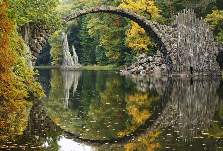
Kromlauer Park
The Kromlauer Rhododendronpark: a precious 19th century cultural monument and landscape park
Sinking over mining areas
Dying trees in the acidic former mining lake
Arched birch trunks
The Kromlauer Rhododendronpark: a precious 19th century cultural monument and landscape park