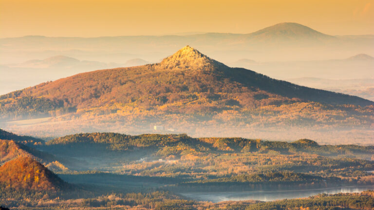
Peak Děvín
Site Description
There are not many places where you could see a volcanic vein rising to the surface. Děvín is one of those place. Děvín – a prominent peak rising above the Hamer Pond that was formed thanks to the volcanic vein that penetrated from the depths of the earth to the surface and hardened the local sandstone. You can see this volcanic vein at the access staircase to Castle Děvín with your own eyes. The rock that forms the vein was named polzenite. The polzenite is nearly 80 million years old. It was first described in this very area and owes its name to the nearby river Ploučnice (Polzen in German).
The erosion of the polzenite produced limonite and clay materials that had been mined since the 16th century as iron ore (as they contained 68% iron). The mining activity in the area was most intensive in the 18th century, the time from which the iron ore mining tunnels under the castle come from. One of the tunnels follows the polzenite vein in a straight line from the main tower of the castle, forming the axis of the rock formations of Děvín and Hamerský Špičák. The mined iron ore was further processed in blast furnaces and hammer mills (forges – hence the name Hamr na Jezeře). Today, in winter the tunnels are home to bats, which is why the tunnels are fitted with bars.
Data
Česko
3 / 5
3 hours.
172 m
What will you see here?

1
Volcanic vein rising to the Earth’s surface
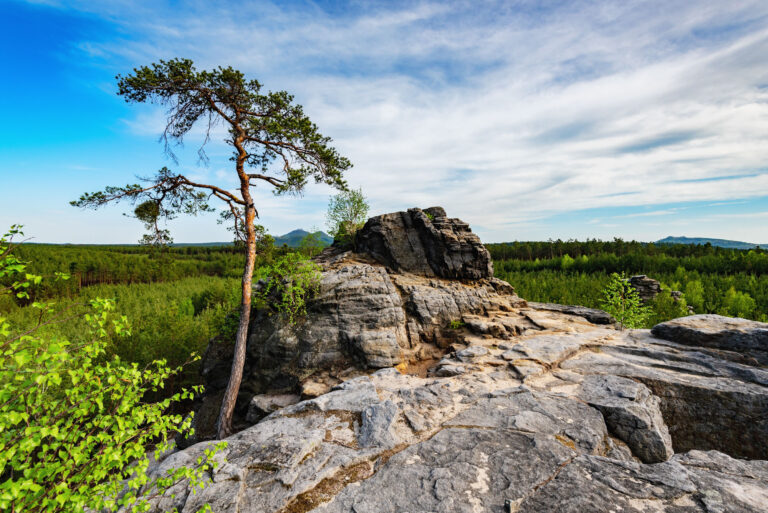
2
View of Hamr na Jezeře

3
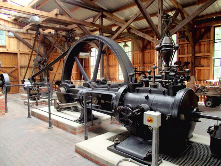
Iron ore mining adits
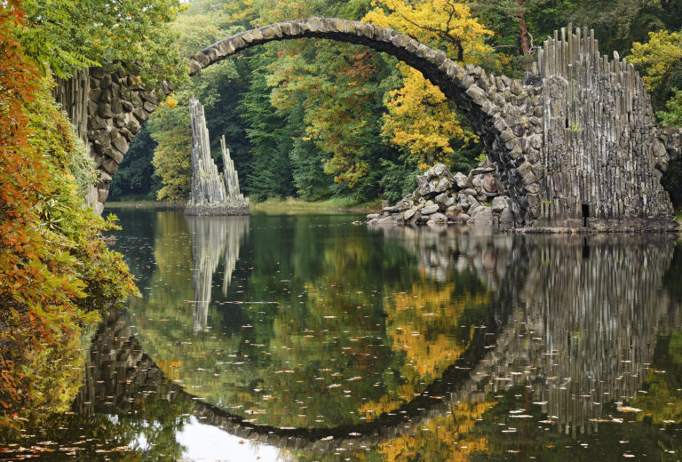
Do you know that...
How to Reach Us
- 471 28 Hamr na Jezeře
- 50.6928461N, 14.8547172E
Site Photo Gallery
DISCOVER OTHER GEOPARK SITES

Kromlauer Park
The Kromlauer Rhododendronpark: a precious 19th century cultural monument and landscape park


