Peak Hamerský Špičák

Charactetistic peak formed on a volcanic vein. Remains of a medieval castle, iron ore mining sites, sandstone quarries.

Site Description

Hamerský Špičák is a distinctive conical rock extending dorsally in the NE-SW direction. Its formation is conditioned by the polzenite (so-called Děvín) vein in the Turon quartz and clay sandstones. These form distinctive rock formations (rock towers and rock walls) on the slopes of the peak. The peak lies together with the neighbouring peaks of Děvín and Schächtenstein on a single semi-zenite vein. The hard volcanic rock strengthened the surrounding sandstones and conditioned the formation of all three peaks.

The characteristic peak formed on the volcanic vein has been used by man since the Middle Ages. Moats and ramparts of the extinct hillfort can be seen in the summit parts. Later on, iron ore was mined in the upper parts and on the south-western slopes and sandstone was quarried on the slopes. On the slopes we can find rounded sinkholes – the remains of iron ore mining. Further mining sites can be seen from the summit along the entire length of the steep ridge up to the saddle below Schächtenstein. These are mainly smaller depressions with low heaps. The largest mining sites are located just above the aforementioned saddle. A shaft cut in the sandstone similar in size to the shaft on Havířský vrch can also be found there. There are both larger and smaller quarries visible after sandstone mining. Southwest of the summit is one of the largest – 40 m long and 20 m wide.

Data

Locality

Česko

Terrain difficulty

4 / 5

Time required

2 hours.

Elevation difference

105 m

What will you see here?

Hamerský Špičák - železité růže

1

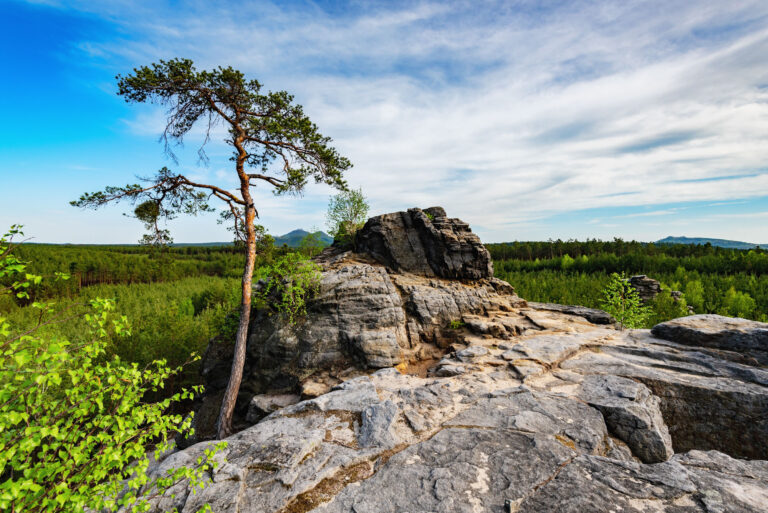
Forms of iron-cemented sandstones – iron roses

Na Hamerském Špičáku

2

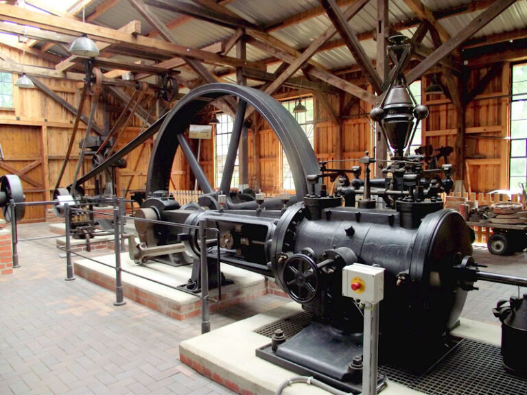
Iron ore mining sites

Hamerské jezero od Hamerského Špičáku

3

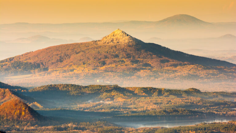
View towards Lake Hamer
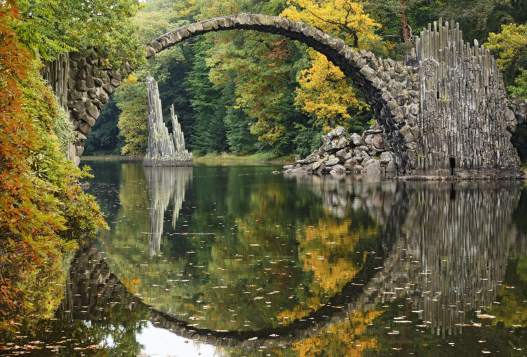
Do you know that...

At the south-western end of the foothills is a well accessible sandstone quarry with various forms of iron-cemented sandstone that resemble the petals of a flower – “iron roses”.

For Curious Minds

Zatím tu nemáme nic ke stažení.

How to Reach Us

From the gazebo of the geopark under Děvín, follow the yellow hiking trail. There is no proper path to the top, the hill is very steep and the climb is only for adventurers. The quarries are visible from the road and mostly easily accessible.

Site Photo Gallery

DISCOVER OTHER GEOPARK SITES

Each place is unique and hides many layers. Come with us and explore the restored wilderness area.